


Mining is generally described through the lens of mine production: tonnes moved, ore processed, equipment availability, utilisation, grades, recoveries and margins. Which is understandable as these are the numbers that determine a mine’s operational performance.
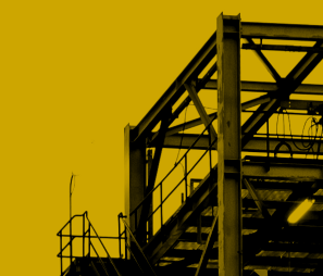
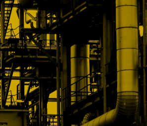
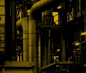
But a mine is also a massive engineered system sitting in a dynamic landscape. As operation plans are executed, haul roads are augmented, pits deepen, waste stockpiles grow, tailings facilities fill to capacity. The physical change of a mine’s orientation is necessary to deliver production plans, but it also introduces a layer of risk.
For engineering teams, the issue is not simply whether change is happening. It is always happening. The harder question is whether that change is being seen early enough, measured consistently enough and connected back to the decisions being made on site. This matters because mining projects leave very little room for poor visibility. McKinsey has previously highlighted the scale of cost and schedule pressure across major mining and metals projects, with many affected by delays and capital overruns. Those overruns do not always start with a major incident. More often, they build from smaller signals that were missed, misunderstood or seen too late.
If a haul road degrades faster than expected, if water moves outside the assumptions of a model, or if an engineered slope behaves differently after sustained weather, a level of unplanned risk may be introduced. None of these issues automatically becomes a crisis, but each one can create a production disruption or unplanned opex expense if the site record is not current.
Mining as an Industrial System
This is where geospatial intelligence is becoming more important to mining, and why it should be of interest to the broader engineering and operations community. Mining is not separate from industrial systems thinking. Mining performance depends on equipment, infrastructure, logistics, process control, maintenance, compliance and capital discipline. Working with better site intelligence supports all of these performance levers.
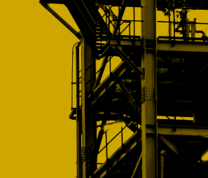
This addition doesn’t mean traditional monitoring is not required. Ground survey, in situ instruments, physical inspections and engineering reviews remain essential. The opportunity is closing the gap between them to ensure existing or newly introduced risk is as low as reasonably practical (ALARP). Large, integrated mining value chains (mine, rail, port) have substantial footprints, often in remote regions, and conditions can change quickly. Maintaining a reliable, current, whole-of-site view through field activity alone is difficult, expensive and sometimes unsafe.
Satellite Earth observation helps close part of that gap, provided it is treated as a measurement system, supporting traditional methods, and not just imagery. This distinction is important as an up-to-date image of a mining operation can be useful, but site operations and engineering teams need something more robust than a visual reference. They require observations that can be compared over time so they can determine whether a detected change reflects a real operational change on the ground that requires intervention.
Building a spatially and temporally consistent view of a mining value stream provides a continuous, auditable condition to evidence record across its life. One continuous record enables:
- a rigorous baseline to be established;
- a consistent view of disturbance, mining activity and rehabilitation and
- one evidence chain tied to regulatory conditions and monitoring obligations.
From Monitoring to Measurement
This becomes especially important as the demand for critical minerals pushes development into more complex settings. New projects are remote, infrastructure-constrained and under close scrutiny from regulators, communities and investors. Stakeholders within the entire mining ecosystem need confidence that these mining projects can be monitored and managed with enough confidence to meet stakeholder expectations.
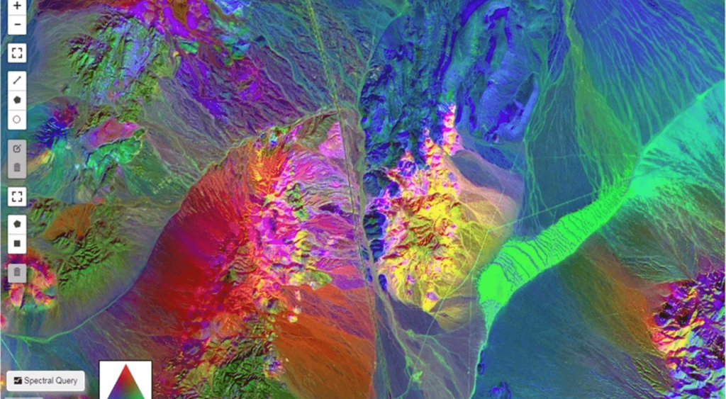
Image caption: EarthDaily’s Marigold software supports mineral exploration by combining deposit-specific insights with spectral interpretation, helping teams plan fieldwork more efficiently and continuously refine exploration campaigns.
This confidence can benefit from a continuous development record across the full mining value chain lifecycle:
- In exploration, Earth observation intelligence can help teams prioritise fieldwork, understand access and build an early picture of terrain, vegetation, water and social disturbance.
- During feasibility and design, it can support baseline development and help engineers understand how the site behaves before large-scale construction begins.
- In operations, it can provide a regular view of change across areas that are hard to inspect continuously.
- In closure, it can help demonstrate whether rehabilitation and long-term stability commitments are being met.
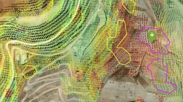
Image caption: EarthDaily’s Iris software supports global-scale mine monitoring by detecting small-scale surface changes across entire sites, giving operators earlier visibility into emerging risks and helping maintain operational stability.
Too often, these stages are treated as separate data environments. One system that services the multiple handoffs between exploration, mine development, project engineering, mine planning, operations and closure is what is required.
EarthDaily’s approach in mining is built around this continuity. The objective is to provide consistent Earth Observation data and analytics that can support decisions from early-stage site assessment through to operating control, progressive rehabilitation and long-term closure monitoring. EarthDaily’s unique broad area change detection capability is designed to support frequent satellite monitoring of mine sites, development projects, and integrated value chains across the globe.
The industry is already investing in automation, remote operations, digital twins and integrated control environments. These systems are only as useful as the data feeding them. If the site is changing and the operating picture is lagging, the digital model can become less reliable. That is why Earth observation is moving from a periodic reference tool to part of the engineering and operational data layer.
Mines are engineered on assumptions. The advantage now is being able to see, measure and manage when the ground starts to disagree.
By Steve Davis – Author Bio
Steve Davis is Director Mining and Energy Development at EarthDaily. He is a mining transformation and strategy expert, currently leading global market engagement for EarthDaily’s mining technologies.
Manufacturing & Engineering Magazine | The Home of Manufacturing Industry News